Research Topics
|
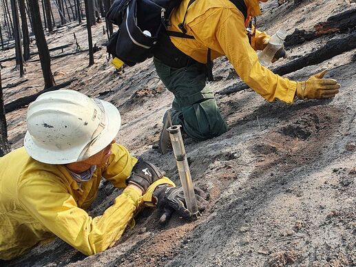
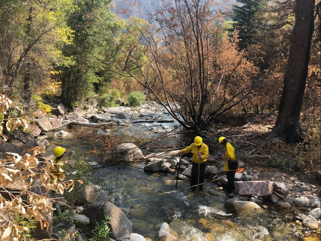
Post-Wildfire HydroGeomorphologyClimate change is driving increasingly extreme wildfire activity across western North America, making it critical to better understand how landscapes will respond after fire, as well as the risks that post-fire erosion, flooding, and geohazards may pose to lives, property, infrastructure, and natural resources.
Our Watersheds & Wildfire Research Collaborative currently has active projects in Utah, Colorado, and British Columbia aimed at:
|
|
|
GIS Delineation ToolsHaving the right tools is essential for any job...
and watershed sciences is no different. Studying or modelling hydrogeomorphic processes, as well as predicting hydrogeomorphic hazards and risks, requires having efficient and easy-to-use tools for geospatial evaluation over appropriate spatial domains (i.e. hydrogeomorphic process domains). While many watershed delineation tools exist for hydrologic modeling and routing, the availability of automated tools for delineating hydrogeomorphic process domains has been more limited. Therefore, as part of our broader projects in the lab, our group continues to develop new tools to streamline and automate essential GIS tasks, as well as address common issues with existing tools. |
|
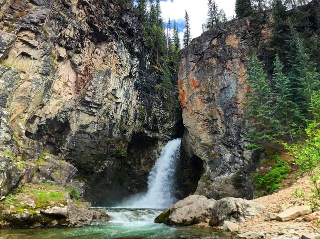
River ErosionWeathering & erosional processes driving the evolution of bedrock rivers. |
|
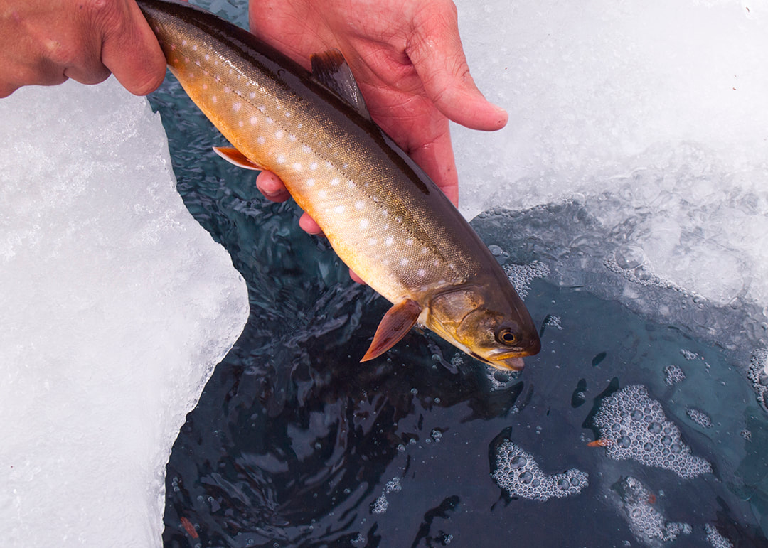
EcoGeomorphologyPhysical habitat disturbance, population dynamics, and ecological resilience. |
RESEARCH
Page Under Construction
Come Back Soon!
Come Back Soon!
Extra text:
Studying hydrogeomorphic processes, as well as modelling and assessing their potential risks (e.g. erosion, debris flows), requires the evaluation of process and controlling factors over appropriate spatial domains (i.e. hydrogeomorphic process domains).
Therefore, as part of our broader projects aimed at modeling sediment dynamics through large watersheds, our group continues to develop new tools to streamline and automate these GIS tasks, as well as address common issues with existing tools.
with easy-to-use ArcGIS toolboxes.
, including river networks for 1-D sediment routing,
When a disturbance like wildfire occurs,
Assess, predict, and interpret landscape dynamics and potential geohazards, such as debris flows after wildfire, depends on our ability to rapidly and appropriately model these processes and map these risks across landscapes.
requires the development of novel geospatial tools that allow for streamlined and automated GIS processes to delineate and model across the various process domains within watersheds.